UAV Sensors Detecting Soil Moisture
Evaluating Soil Moisture with RGB, Multispectral, and Thermal UAV Sensors in Agricultural Fields
Supervising teacher
Rachel Sanders
Student
Elise Hess
School
Global Impact STEM Academy
Supporting files
elise-hess-2023-stem-fair.pdf
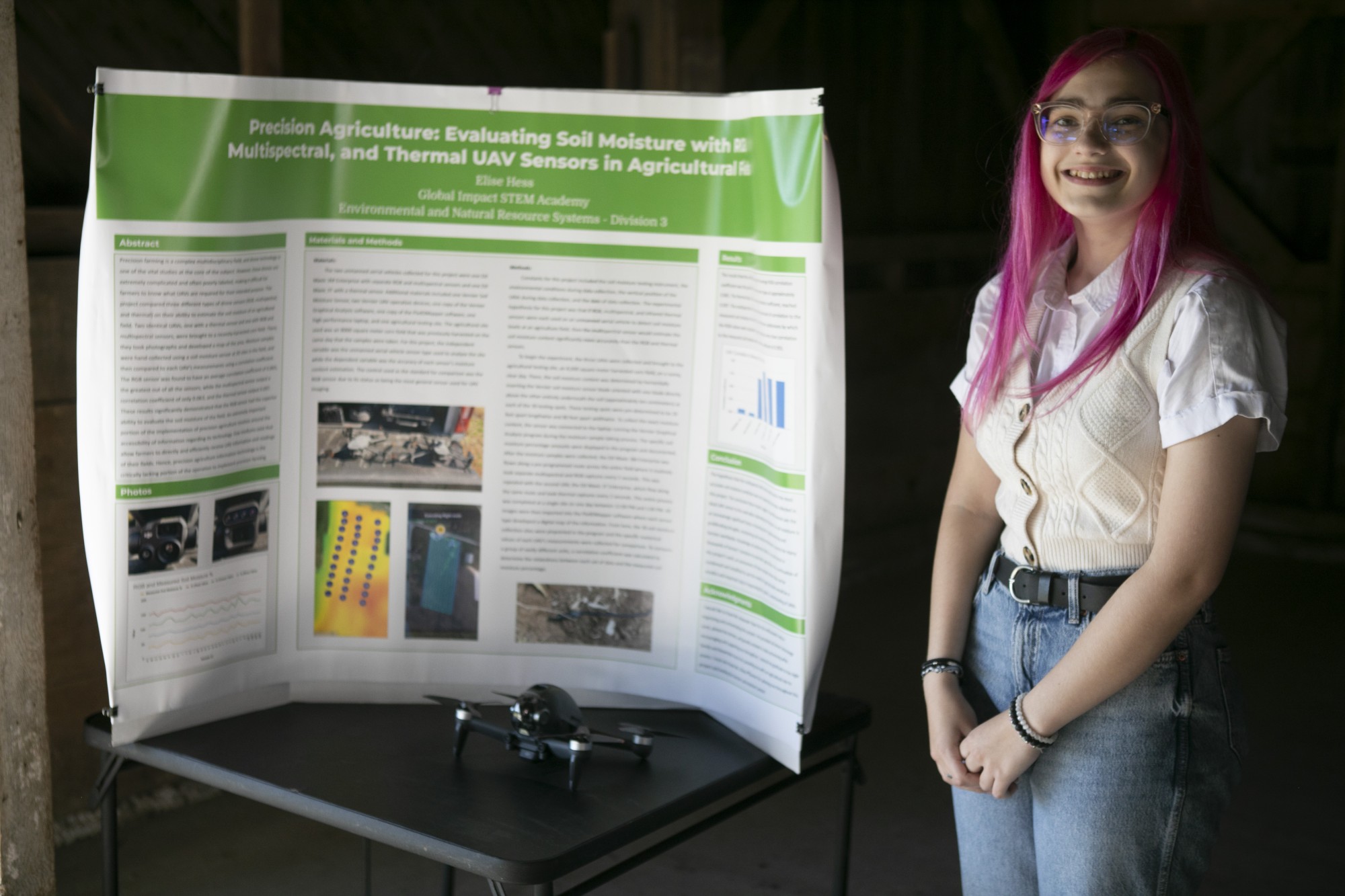
Precision farming is a complex multidisciplinary field, and drone technology is one of the most vital studies at the core of the subject. Through the use of various unmanned aerial vehicles (UAVs), farmers worldwide monitor and observe their agricultural fields. However, these drones are excessively complicated and often poorly labeled, making it difficult for farmers to know what UAVs are required for their intended purpose. This project compared three different types of drone sensors [RGB (red, green, and blue), multispectral (deep electromagnetic spectral), and thermal (heat index)] on their ability to estimate the soil moisture of an agricultural field. Two identical UAVs, one with a thermal sensor and one with RGB and multispectral sensors, were brought to a recently-harvested corn field. There, they each flew a calculated route throughout the area of the field, taking photographs and developing a map of the area. Moisture samples were hand-collected using a soil moisture sensor at 30 sites in the field, and then compared to each UAV’s measurements using a correlation coefficient. The RGB sensor was found to have an average correlation coefficient of 0.865, the greatest out of all the sensors, and the individual green value had an exceptionally high correlation of 0.955. However, the multispectral sensor output a correlation coefficient of only 0.063, and the thermal sensor output 0.097. These results significantly demonstrated that the RGB sensor had the superior ability to evaluate the soil moisture of the field, suggesting that farmers should invest in an RGB drone if they wish to monitor the soil moisture of their fields. An extremely important portion of the implementation of precision agriculture revolves around the accessibility of information regarding its technology. Few mediums exist that allow farmers to directly and efficiently receive UAV information and UAV readings of their fields. Hence, efforts concerning precision agriculture information technology are the critically lacking portion of the operation to implement precision farming.
